Land Use
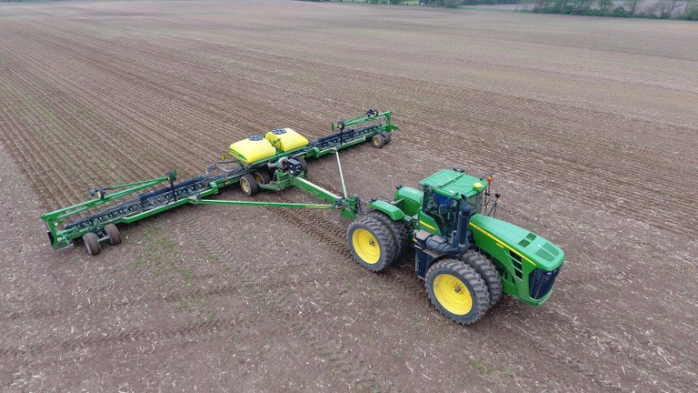
The decline of the bog turtle in North America, as with many freshwater wetland species, is attributed mostly to the loss of habitat through agricultural and urban development. Only in the latter part of the twentieth century when wetlands and endangered species were afforded protection through federal and state legislation was the direct and outright destruction of bog turtle habitat mostly abated. But because of the fragility of bog turtle habitat, the quality of bog turtle sites continues to deteriorate—even on protected land—from the indirect effects of agricultural and urban development in the landscape.
One major indirect impact of land use on bog turtle habitat is the influx of stormwater runoff. Defined by the EPA as “surface water generated from rain and snowmelt events that flows over land or impervious surfaces and does not soak into the ground,” stormwater runoff is rich in nutrients (e.g., manure and/or chemical fertilizer, lawn chemicals), chlorides (often from deicing salts), sediment, and other pollutants. Urban and agricultural stormwater runoff increases the abundance of tall, competitively-dominant herbs (e.g., purple loosestrife, common reed) and accelerates forest succession in low-nutrient fens and similar herbaceous wetlands. Stormwater can also have a profound impact on the hydrology of bog turtle habitat. Flashy, high-volume stormwater runoff discharging from an outfall structure or flowing along steep terrain can erode the shallow streams and rivulets in bog turtle habitats. As a stream bed is repeatedly lowered by the erosive force of the runoff, the flow of groundwater in the adjacent wetland habitat gets drawn into the channel and the bog turtle habitat dries out.
Land use also indirectly impacts bog turtle habitat through disrupting groundwater dynamics. The seeps and springs that drive the hydrology of bog turtle habitat are maintained by groundwater recharge zones consisting of permeable soil or fractured bedrock that facilitate percolation of rain and snowmelt downward into an aquifer (i.e., water table). Recharge zones may vary in composition, size, and infiltration capacity across geologic and topographic settings, but universally they occur on undeveloped land. As the groundwater recharge zone of an aquifer is developed, impervious surfaces in the form of roads, rooftops, and even lawns, which are often planted on compacted soils, reduce the replenishment of the aquifer, affecting the output of springs and seeps. The federal bog turtle recovery plan designates a 300-ft “conservation zone” around bog turtle wetlands designed to protect habitat from stormwater run-off, hydrological changes, and other land use impacts; although, with respect to groundwater recharge, the zone may oftentimes need to be much larger. - Jason Tesauro, Februrary 2020

References:


